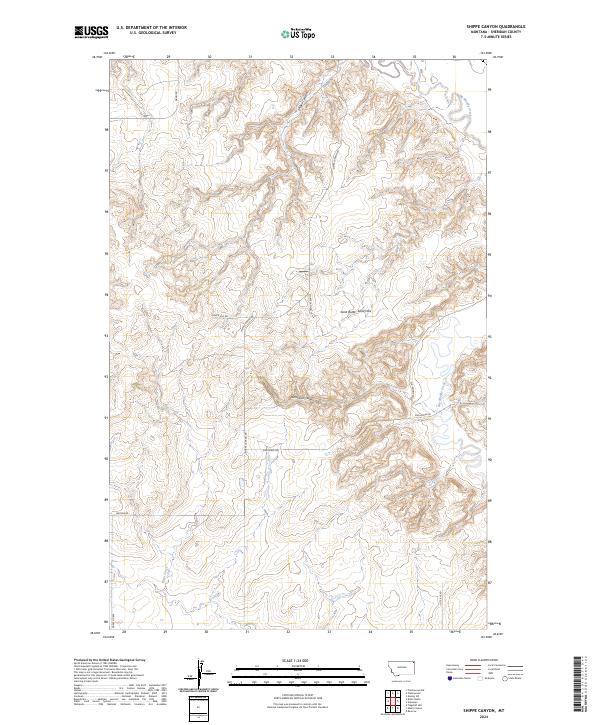
2024 Map of Shippe Canyon
USGS Topo · Published 2024About this map
Shippe Canyon and the surrounding high plains of Sheridan County define this landscape of deeply incised drainages and remote range roads. The drainage of Big Muddy Creek marks the eastern edge of the survey, while Otter Creek winds through the southwestern section, carving through the dramatic elevation changes of the Richardson Coulee. The topography is shaped by the Sand Butte Sand Hills, a localized geologic feature that breaks the typical coulee-and-ridge pattern of this part of Montana.
Find a feature on this map
15 named features on this map. Tap any name to fly to it.
Don’t see what you’re looking for? This feature index may not catch every label — zoom into the map to look around manually.
Map Details
Editions of this 2024 Shippe Canyon Map
This is the sole edition of this map. No revisions or reprints were ever made.
Other maps of this area

1948 · Reserve
USGS Topo · 1:24,000

1948 · Alkali Coulee
USGS Topo · 1:24,000

1948 · Antelope
USGS Topo · 1:24,000

1949 · Reserve
USGS Topo · 1:24,000

1949 · Antelope
USGS Topo · 1:24,000

1949 · Alkali Coulee
USGS Topo · 1:24,000

1950 · Shippe Canyon
USGS Topo · 1:24,000

1954 · Wolf Point
USGS Topo · 1:250,000

1958 · Wolf Point
USGS Topo · 1:250,000

1983 · Dooley SW
USGS Topo · 1:24,000