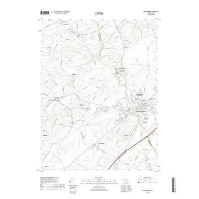
2019 Map of Shippensburg
USGS Topo · Published 2019About this map
Shippensburg serves as the primary urban center in this survey, spanning the border of Cumberland and Franklin counties. The landscape is defined by the winding course of Conodoguinet Creek to the north and the expansive campus of Shippensburg University, which anchors the northeastern edge of the borough. This area is notably dense with genealogical data, featuring numerous distinct burial grounds such as the Old Dutch Graveyard and the Middle Spring Presbyterian Church Cem Old.
Find a feature on this map
131 named features on this map. Tap any name to fly to it.
Don’t see what you’re looking for? This feature index may not catch every label — zoom into the map to look around manually.
Map Details
Editions of this 2019 Shippensburg Map
This is the sole edition of this map. No revisions or reprints were ever made.
Other maps of this area

1902 · Chambersburg
USGS Topo · 1:62,500

1909 · Fairfield
USGS Topo · 1:62,500

1919 · Newville
USGS Topo · 1:62,500

1923 · Shippensburg
USGS Topo · 1:62,500

1942 · Hagerstown
USGS Topo · 1:125,000

1942 · Gettysburg
USGS Topo · 1:125,000

1943 · Hagerstown
USGS Topo · 1:125,000

1943 · Chambersburg
USGS Topo · 1:62,500

1943 · Shippensburg
USGS Topo · 1:62,500

1944 · Scotland
USGS Topo · 1:31,680