
1954 Map of Shiprock
USGS Topo · Published 1954About this map
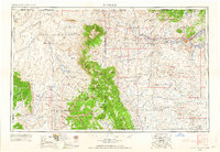
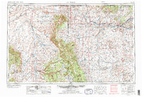
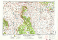
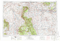
Ship Rock stands as the iconic monolith of this high-desert landscape, serving as a focal point within the expansive Navajo Indian Reservation. The geography of the mid-1950s Four Corners region is defined by the convergence of the San Juan River, Animas River, and La Plata River near the growing hub of Farmington. This era shows a landscape transitioning through industrial expansion, evidenced by various Oil Fields, Gas Fields, and a Strip Mine scattered across the plateau.
Find a feature on this map
151 named features on this map. Tap any name to fly to it.
Don’t see what you’re looking for? This feature index may not catch every label — zoom into the map to look around manually.
Map Details
Editions of this 1954 Shiprock Map
5 editions found
Other maps of this area

1883 · Marsh Pass
USGS Topo · 1:250,000

1883 · Mt. Taylor
USGS Topo · 1:250,000

1883 · Tusayan
USGS Topo · 1:250,000

1886 · Wingate
USGS Topo · 1:250,000

1886 · Mt. Taylor
USGS Topo · 1:250,000

1886 · Tusayan
USGS Topo · 1:250,000

1886 · Fort Defiance
USGS Topo · 1:250,000

1886 · Henry Mountains
USGS Topo · 1:250,000

1886 · Abajo
USGS Topo · 1:250,000

1889 · Largo
USGS Topo · 1:250,000