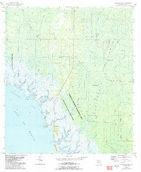
1955 Map of Shired Island
USGS Topo · Published 1993About this map
Shired Island and the neighboring Big Pine Island anchor this coastal landscape where the Gulf of Mexico meets the intricate wetland systems of Dixie County. The terrain is defined by a dense network of tidal creeks and marshes, including Amason Creek, Fishbone Creek, and Sanders Creek, which drain the massive California Swamp. This mid-century survey reveals a transition in land use, showing an Old Railroad Grade cutting through the interior forests, a remnant of earlier timber extraction in a region now primarily dedicated to conservation. Massive protected zones dominate the map, including the Perpetual Wildlife Management Area and the Lower Suwannee National Wildlife Refuge, highlighting the shift from industrial forest exploitation toward environmental preservation in the late twentieth century.
Find a feature on this map
24 named features on this map. Tap any name to fly to it.
Don’t see what you’re looking for? This feature index may not catch every label — zoom into the map to look around manually.
Map Details
Editions of this 1955 Shired Island Map
3 editions found
Other maps of this area

1954 · Eugene
USGS Topo · 1:24,000

1954 · Steinhatchee SE
USGS Topo · 1:24,000

1954 · Cross City SW
USGS Topo · 1:24,000

1954 · Horseshoe Beach
USGS Topo · 1:24,000

1954 · Suwannee
USGS Topo · 1:24,000

1954 · Vista
USGS Topo · 1:24,000

1954 · East Pass
USGS Topo · 1:24,000

1954 · Gainesville
USGS Topo · 1:250,000

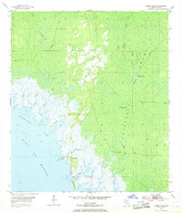
1955 · Shired Island
USGS Topo · 1:24,000

1958 · Gainesville
USGS Topo · 1:250,000