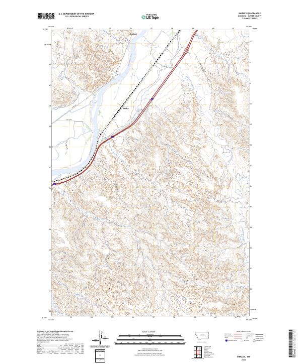
2024 Map of Shirley
USGS Topo · Published 2024About this map
The Yellowstone River flows through this corner of Custer County, shaping a landscape defined by its vital water sources and early agricultural infrastructure. In this area, the Kinsey Main Canal runs parallel to the river's western bank, highlighting the engineering required to support ranching and farming in the region's semi-arid environment. The small settlements of Shirley and Bonfield serve as the primary local hubs, connected by the historic route of W Old Highway 10. Numerous drainages, including Dead Horse Creek, Cottonwood Creek, and Charlie Creek, carve out the surrounding terrain. Local transportation is further detailed through named thoroughfares such as Lower Rd and the evocatively named Diamond Ring Rd, providing a clear view of the rural road network used by generations of Montana residents.
Find a feature on this map
24 named features on this map. Tap any name to fly to it.
Don’t see what you’re looking for? This feature index may not catch every label — zoom into the map to look around manually.
Map Details
Editions of this 2024 Shirley Map
This is the sole edition of this map. No revisions or reprints were ever made.
Other maps of this area

1953 · Miles City
USGS Topo · 1:250,000

1957 · Miles City
USGS Topo · 1:250,000

1958 · Miles City
USGS Topo · 1:250,000

1969 · Corral Butte
USGS Topo · 1:24,000

1969 · Zero
USGS Topo · 1:24,000

1969 · Kinsey NE
USGS Topo · 1:24,000

1969 · Kinsey
USGS Topo · 1:24,000

1969 · Government Hill
USGS Topo · 1:24,000

1969 · The Knob
USGS Topo · 1:24,000

1969 · Buck Mountain
USGS Topo · 1:24,000