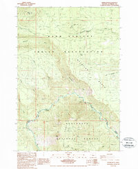
1988 Map of Shitike Butte
USGS Topo · Published 1988About this map
Warm Springs Indian Reservation and the Deschutes National Forest meet in this landscape defined by high volcanic buttes and the dramatic descent toward the canyon floor. The terrain is anchored by Shitike Butte, topped with the Shitike Lookout Tower, providing a clear view over the surrounding drainage systems of the Whitewater River and Seekseequa Creek. The Metolius River cuts through the southeastern section, following the base of Green Ridge, which forms a prominent natural boundary. Geologic features like the Metolius Bench and Castle Rock highlight the transition from high-elevation lookouts to the river valleys. This 1988 survey captures the region just before the turn of the decade, showing the remote forest roads and hydrological patterns that define the Jefferson County back-country.
Find a feature on this map
26 named features on this map. Tap any name to fly to it.
Don’t see what you’re looking for? This feature index may not catch every label — zoom into the map to look around manually.
Map Details
Editions of this 1988 Shitike Butte Map
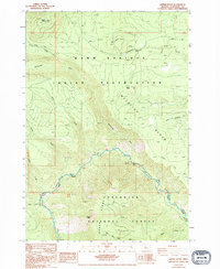
2 editions found
Other maps of this area

1927 · Mt. Jefferson
USGS Topo · 1:125,000

1928 · Madras
USGS Topo · 1:125,000

1930 · Mt. Jefferson
USGS Topo · 1:125,000

1931 · Madras
USGS Topo · 1:125,000

1955 · Bend
USGS Topo · 1:250,000

1957 · Bend
USGS Topo · 1:250,000

1958 · Bend
USGS Topo · 1:250,000

1961 · Whitewater River
USGS Topo · 1:62,500

1961 · Fort Butte
USGS Topo · 1:62,500

1962 · Metolius Bench
USGS Topo · 1:24,000