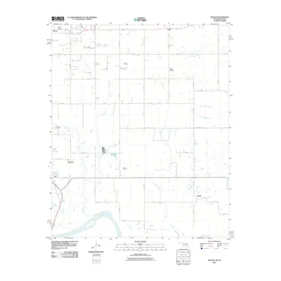
2010 Map of Shoals
USGS Topo · Published 2010About this map
The Red River defines the southern boundary of this landscape, where the agricultural plains of Choctaw County meet the winding river bottom. The area is marked by a grid of rural roads, including E 2100 Rd and N 4280 Rd, which connect small communities and family landmarks. The southeastern portion of Hugo appears in the northwest corner, near the significant Mount Olivet Cemetery.
Find a feature on this map
40 named features on this map. Tap any name to fly to it.
Don’t see what you’re looking for? This feature index may not catch every label — zoom into the map to look around manually.
Map Details
Editions of this 2010 Shoals Map
This is the sole edition of this map. No revisions or reprints were ever made.
Other maps of this area

1901 · Antlers
USGS Topo · 1:125,000

1901 · Alikchi
USGS Topo · 1:125,000

1903 · Paris
USGS Topo · 1:125,000

1912 · Antlers
USGS Topo · 1:125,000

1925 · Antlers
USGS Topo · 1:125,000

1948 · Grant
USGS Topo · 1:62,500

1949 · Grant
USGS Topo · 1:62,500

1950 · Mcalester
USGS Topo · 1:250,000

1951 · Slate Shoals
USGS Topo · 1:24,000

1951 · Frogville
USGS Topo · 1:24,000