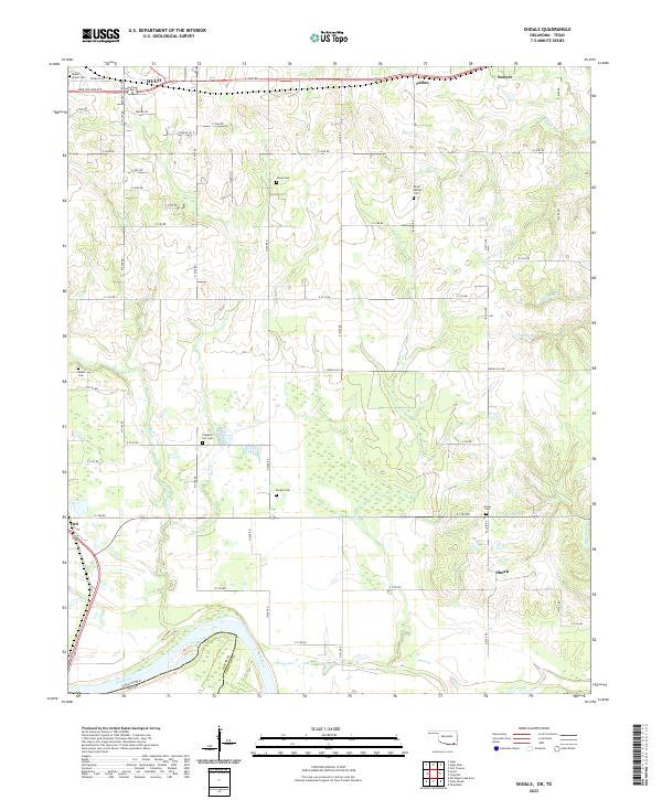
2022 Map of Shoals
USGS Topo · Published 2022About this map
The Red River defines the southern boundary of this region, separating Choctaw County, Oklahoma from Lamar County, Texas. This landscape is marked by a network of drainage systems, including Owl Cr, Carney Cr, and Horse Cr, which flow through a mix of agricultural fields and wetlands. The settlement patterns reflect a rural history, with small communities like Shoals and Fallon positioned along a grid of section-line roads such as Spring Hill Rd.
Find a feature on this map
50 named features on this map. Tap any name to fly to it.
Don’t see what you’re looking for? This feature index may not catch every label — zoom into the map to look around manually.
Map Details
Editions of this 2022 Shoals Map
This is the sole edition of this map. No revisions or reprints were ever made.
Other maps of this area

1901 · Antlers
USGS Topo · 1:125,000

1901 · Alikchi
USGS Topo · 1:125,000

1903 · Paris
USGS Topo · 1:125,000

1912 · Antlers
USGS Topo · 1:125,000

1925 · Antlers
USGS Topo · 1:125,000

1948 · Grant
USGS Topo · 1:62,500

1949 · Grant
USGS Topo · 1:62,500

1950 · Mcalester
USGS Topo · 1:250,000

1951 · Slate Shoals
USGS Topo · 1:24,000

1951 · Frogville
USGS Topo · 1:24,000