
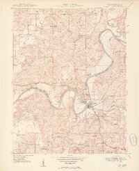
1950 Map of Shoals
USGS Topo · Published 1950About this map
The East Fork White River carves a dramatic path through Martin County, Indiana, defining the geography around Shoals. This mid-century survey documents a landscape where traditional riverbank life and rising industry converged. To the north, the U S Naval Ammunition Depot Boundary Reservation marks a significant federal footprint on the rural landscape. Along the river’s winding course, named points like McBrides Bluff, Cedar Bluff, and Pinnacle Rock overlook the horseshoe-shaped Heathen Bend.
Find a feature on this map
49 named features on this map. Tap any name to fly to it.
Don’t see what you’re looking for? This feature index may not catch every label — zoom into the map to look around manually.
Map Details
Editions of this 1950 Shoals Map
2 editions found
Other maps of this area

1935 · Oolitic
USGS Topo · 1:48,000

1942 · Oolitic
USGS Topo · 1:62,500

1948 · Huron
USGS Topo · 1:24,000

1950 · Huron
USGS Topo · 1:24,000

1950 · Odon
USGS Topo · 1:24,000

1951 · Hillham
USGS Topo · 1:24,000

1956 · Alfordsville
USGS Topo · 1:24,000

1956 · Loogootee
USGS Topo · 1:24,000

1956 · Rusk
USGS Topo · 1:24,000

1956 · Indian Springs
USGS Topo · 1:24,000