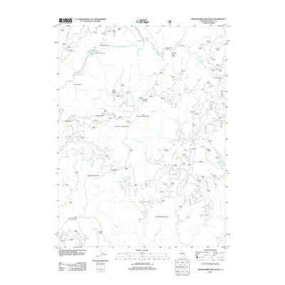
2012 Map of Shoeinhorse Mountain
USGS Topo · Published 2012About this map
The McCloud River carves through this northern California landscape, defining a region of steep drainages and prominent peaks within Shasta County. Early 21st-century topography reveals a network of Forest Service outposts and named campsites, including Ah-Di-Na Campground and the distinctly named Ghost Camp. The terrain is marked by numerous creatively named gulches, such as Doodlebug Gulch, Horned Owl Gulch, and Bones Gulch, which suggest the historic character of local exploration and land use. High points like Shoeinhorse Mountain, Tamarack Mountain, and Coyote Peak overlook a dense hydrographic system of creeks, where Squaw Cr and Hawkins Cr converge with the river. This survey captures a moment when the area served primarily as a recreational and forestry corridor, preserved in details like the Happy Hunting Grounds and the remote Sheep Camp in the south.
Find a feature on this map
45 named features on this map. Tap any name to fly to it.
Don’t see what you’re looking for? This feature index may not catch every label — zoom into the map to look around manually.
Map Details
Editions of this 2012 Shoeinhorse Mountain Map
This is the sole edition of this map. No revisions or reprints were ever made.
Other maps of this area

1886 · Lassen Peak
USGS Topo · 1:250,000

1886 · Modoc Lava Bed
USGS Topo · 1:250,000

1886 · Shasta
USGS Topo · 1:250,000

1890 · Red Bluff
USGS Topo · 1:250,000

1892 · Modoc Lava-Bed
USGS Topo · 1:250,000

1892 · Lassen Peak
USGS Topo · 1:250,000

1894 · Lassen Peak
USGS Topo · 1:250,000

1894 · Red Bluff
USGS Topo · 1:250,000

1894 · Shasta
USGS Topo · 1:250,000

1901 · Redding
USGS Topo · 1:125,000