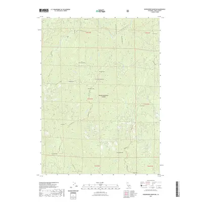
2021 Map of Shoeinhorse Mountain
USGS Topo · Published 2021About this map
The Shasta National Forest dominates this section of Northern California, where the McCloud River carves through a landscape of high ridges and deep gulches. Modern recreational routes, including the Pacific Crest National Scenic Trl and the McCloud River Trl, follow the natural contours of the land, providing access to landmarks like Shoeinhorse Mtn and Ladybug Butte. The drainage patterns are intricate, with Squaw Cr, Claiborne Cr, and Hawkins Cr feeding into larger systems. Remote peaks such as North Fork Mtn and Coyote Peak define the horizon, while the network of unpaved paths like the Curl Ridge Jeep Trl and Bagley Mtn Trl suggests a terrain utilized primarily for forest management and backcountry exploration.
Find a feature on this map
51 named features on this map. Tap any name to fly to it.
Don’t see what you’re looking for? This feature index may not catch every label — zoom into the map to look around manually.
Map Details
Editions of this 2021 Shoeinhorse Mountain Map
This is the sole edition of this map. No revisions or reprints were ever made.
Other maps of this area

1886 · Lassen Peak
USGS Topo · 1:250,000

1886 · Modoc Lava Bed
USGS Topo · 1:250,000

1886 · Shasta
USGS Topo · 1:250,000

1890 · Red Bluff
USGS Topo · 1:250,000

1892 · Modoc Lava-Bed
USGS Topo · 1:250,000

1892 · Lassen Peak
USGS Topo · 1:250,000

1894 · Lassen Peak
USGS Topo · 1:250,000

1894 · Red Bluff
USGS Topo · 1:250,000

1894 · Shasta
USGS Topo · 1:250,000

1901 · Redding
USGS Topo · 1:125,000