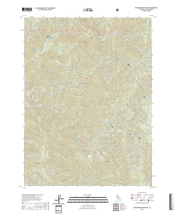
2023 Map of Shoeinhorse Mountain
USGS Topo · Published 2023About this map
The McCloud River flows through the northern reaches of this portion of the Shasta National Forest, a landscape defined by prominent volcanic buttes and a dense network of mountain drainages. The Pacific Crest National Scenic Trail winds across the high ridges near Skunk Hill, offering a primitive transit route through the wilderness. This modern survey illustrates the complex topography surrounding Shoeinhorse Mtn and Little Shoeinhorse Mtn, where the terrain is carved by numerous creatively named waterways such as Doodlebug Gulch and Butcherknife Creek.
Find a feature on this map
52 named features on this map. Tap any name to fly to it.
Don’t see what you’re looking for? This feature index may not catch every label — zoom into the map to look around manually.
Map Details
Editions of this 2023 Shoeinhorse Mountain Map
This is the sole edition of this map. No revisions or reprints were ever made.
Other maps of this area

1886 · Lassen Peak
USGS Topo · 1:250,000

1886 · Modoc Lava Bed
USGS Topo · 1:250,000

1886 · Shasta
USGS Topo · 1:250,000

1890 · Red Bluff
USGS Topo · 1:250,000

1892 · Modoc Lava-Bed
USGS Topo · 1:250,000

1892 · Lassen Peak
USGS Topo · 1:250,000

1894 · Lassen Peak
USGS Topo · 1:250,000

1894 · Red Bluff
USGS Topo · 1:250,000

1894 · Shasta
USGS Topo · 1:250,000

1901 · Redding
USGS Topo · 1:125,000