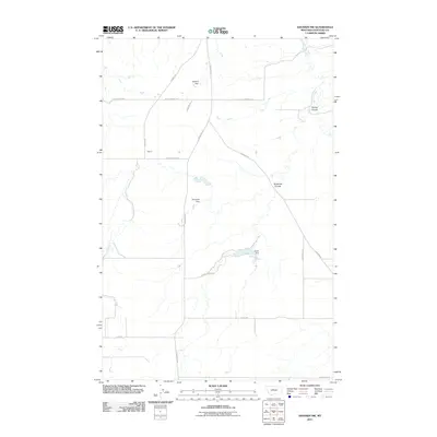
2011 Map of Shonkin NW
USGS Topo · Published 2011About this map
Yemen sits within a landscape defined by the hydraulic management and dryland drainage of Chouteau County. In this early twenty-first-century survey, the water-scarce terrain is marked by essential infrastructure such as Hanford Dam, Bramlette Dam, and Booth Dam, which serve to capture runoff for agricultural use. The drainage patterns are clearly delineated by Shonkin Creek and the deep incisions of Ninemile Coulee and Spring Coulee. A network of thoroughfares, including Highwood Rd and Black Butte Rd, connects the isolated ranching properties. This map illustrates the intersection of natural topography and local transportation routes like Bird Coulee Rd and W Clearwater Rd, reflecting the sparse but deliberate human imprint on the Big Sky Country plains.
Find a feature on this map
20 named features on this map. Tap any name to fly to it.
Don’t see what you’re looking for? This feature index may not catch every label — zoom into the map to look around manually.
Map Details
Editions of this 2011 Shonkin NW Map
This is the sole edition of this map. No revisions or reprints were ever made.
Other maps of this area

1890 · Fort Benton
USGS Topo · 1:250,000

1892 · Fort Benton
USGS Topo · 1:250,000

1897 · Fort Benton
USGS Topo · 1:250,000

1953 · Tunis
USGS Topo · 1:24,000

1953 · O'Hanlon Coulee
USGS Topo · 1:24,000

1954 · Great Falls
USGS Topo · 1:250,000

1954 · Rice Reservoir
USGS Topo · 1:24,000

1954 · Fort Benton
USGS Topo · 1:24,000

1956 · Highwood
USGS Topo · 1:62,500

1957 · Great Falls
USGS Topo · 1:250,000