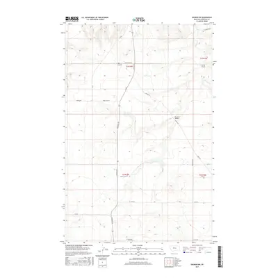
2017 Map of Shonkin NW
USGS Topo · Published 2017About this map
Shonkin Creek flows through this high-plains landscape of northern Montana, where deep drainages have carved the terrain into distinctive features like The Canyon and Spring Coulee. The map shows a transition from the elevated benches of N Bench Road down toward the winding waterway, reflecting a landscape shaped by both geological time and modern land management. Rural life in Chouteau County is anchored by a grid of named routes such as Highwood Rd and Black Butte Rd, which connect isolated homesteads and ranching tracts. These roads, including Harris Cross Rd and Zanto Rd, trace the natural contours of the land, avoiding the steeper breaks of Ninemile Coulee. This survey provides a precise look at the township and range boundaries of t23n r8e and t23n r9e, illustrating how agricultural property lines intersect with the rugged Montana coulees.
Find a feature on this map
23 named features on this map. Tap any name to fly to it.
Don’t see what you’re looking for? This feature index may not catch every label — zoom into the map to look around manually.
Map Details
Editions of this 2017 Shonkin NW Map
This is the sole edition of this map. No revisions or reprints were ever made.
Other maps of this area

1890 · Fort Benton
USGS Topo · 1:250,000

1892 · Fort Benton
USGS Topo · 1:250,000

1897 · Fort Benton
USGS Topo · 1:250,000

1953 · Tunis
USGS Topo · 1:24,000

1953 · O'Hanlon Coulee
USGS Topo · 1:24,000

1954 · Great Falls
USGS Topo · 1:250,000

1954 · Rice Reservoir
USGS Topo · 1:24,000

1954 · Fort Benton
USGS Topo · 1:24,000

1956 · Highwood
USGS Topo · 1:62,500

1957 · Great Falls
USGS Topo · 1:250,000