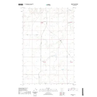
2020 Map of Shonkin NW
USGS Topo · Published 2020About this map
The Canyon sits as a prominent landscape feature in this portion of Chouteau County, where the high plains are dissected by a series of dramatic coulees. This rural Montana landscape is defined by the drainage patterns of Spring Coulee, Ninemile Coulee, and the meandering path of Shonkin Cr. The area reflects a sparse, systematic settlement pattern typical of the western range, with a network of local connectors such as Highwood Rd and W Clearwater Rd following the section lines of the Public Land Survey System. Named landmarks like 22n08e24bddd01 Spring indicate the critical importance of water sources in this dry environment. The road names, including Harris Cross Rd and Zanto Rd, often preserve the names of early ranching and farming families who established themselves in the township during the twentieth century.
Find a feature on this map
28 named features on this map. Tap any name to fly to it.
Don’t see what you’re looking for? This feature index may not catch every label — zoom into the map to look around manually.
Map Details
Editions of this 2020 Shonkin NW Map
This is the sole edition of this map. No revisions or reprints were ever made.
Other maps of this area

1890 · Fort Benton
USGS Topo · 1:250,000

1892 · Fort Benton
USGS Topo · 1:250,000

1897 · Fort Benton
USGS Topo · 1:250,000

1953 · Tunis
USGS Topo · 1:24,000

1953 · O'Hanlon Coulee
USGS Topo · 1:24,000

1954 · Great Falls
USGS Topo · 1:250,000

1954 · Rice Reservoir
USGS Topo · 1:24,000

1954 · Fort Benton
USGS Topo · 1:24,000

1956 · Highwood
USGS Topo · 1:62,500

1957 · Great Falls
USGS Topo · 1:250,000