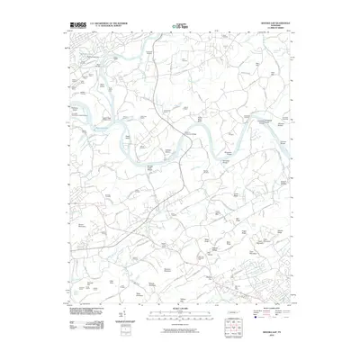
2010 Map of Shooks Gap
USGS Topo · Published 2010About this map
The French Broad River and Holston River dominate this landscape southeast of Knoxville, revealing a complex network of waterways and early 21st-century industry. Significant quarrying operations are scattered across the terrain, including the Holston Quarry, Victoria Quarry, and Gray Knox Quarry, highlighting the region's geological and economic history. Along the riverbanks, numerous islands and shoals like Pickel Island and Kennedys Shoals indicate the natural river character before reaching Watts-Bar Lake.
Find a feature on this map
144 named features on this map. Tap any name to fly to it.
Don’t see what you’re looking for? This feature index may not catch every label — zoom into the map to look around manually.
Map Details
Editions of this 2010 Shooks Gap Map
This is the sole edition of this map. No revisions or reprints were ever made.
Other maps of this area

1886 · Knoxville
USGS Topo · 1:125,000

1892 · Knoxville
USGS Topo · 1:125,000

1894 · Knoxville
USGS Topo · 1:125,000

1895 · Knoxville
USGS Topo · 1:125,000

1897 · Maynardville
USGS Topo · 1:125,000

1900 · Maynardville
USGS Topo · 1:125,000

1901 · Knoxville
USGS Topo · 1:125,000

1935 · Mascot
USGS Topo · 1:24,000

1935 · Knoxville
USGS Topo · 1:48,000

1935 · Straw Plains
USGS Topo · 1:48,000