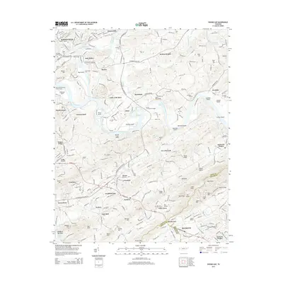
2014 Map of Shooks Gap
USGS Topo · Published 2014About this map
French Broad River and Holston River converge to form the Tennessee River at the Forks of the River, a defining hydrological landmark east of Knoxville. The landscape is a complex mix of river bottomlands and sharp ridges, including Lundy Ridge and Red Ridge, which separate the various residential and historic districts. Aviation and industry are present through the Knoxville Downtown Island Airport on Dickinson Island and the specialized extraction site at Meades Quarry.
Find a feature on this map
111 named features on this map. Tap any name to fly to it.
Don’t see what you’re looking for? This feature index may not catch every label — zoom into the map to look around manually.
Map Details
Editions of this 2014 Shooks Gap Map
This is the sole edition of this map. No revisions or reprints were ever made.
Other maps of this area

1886 · Knoxville
USGS Topo · 1:125,000

1892 · Knoxville
USGS Topo · 1:125,000

1894 · Knoxville
USGS Topo · 1:125,000

1895 · Knoxville
USGS Topo · 1:125,000

1897 · Maynardville
USGS Topo · 1:125,000

1900 · Maynardville
USGS Topo · 1:125,000

1901 · Knoxville
USGS Topo · 1:125,000

1935 · Mascot
USGS Topo · 1:24,000

1935 · Knoxville
USGS Topo · 1:48,000

1935 · Straw Plains
USGS Topo · 1:48,000