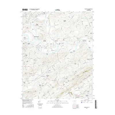
2016 Map of Shooks Gap
USGS Topo · Published 2016About this map
The French Broad River and Holston River converge here to form the Tennessee River, a defining hydrologic junction on the eastern edge of Knoxville. This landscape is marked by historical river navigation and industrial extraction, evidenced by Meades Quarry and the numerous shoals that once challenged river pilots, such as Burnett Creek Shoals and Paint Rock Shoals. The rugged terrain of the Ridge-and-Valley province is visible in the prominent Shooks Gap, where the Sevierville Pike cuts through the ridges toward the Knox-Blount and Knox-Sevier county lines.
Find a feature on this map
106 named features on this map. Tap any name to fly to it.
Don’t see what you’re looking for? This feature index may not catch every label — zoom into the map to look around manually.
Map Details
Editions of this 2016 Shooks Gap Map
This is the sole edition of this map. No revisions or reprints were ever made.
Other maps of this area

1886 · Knoxville
USGS Topo · 1:125,000

1892 · Knoxville
USGS Topo · 1:125,000

1894 · Knoxville
USGS Topo · 1:125,000

1895 · Knoxville
USGS Topo · 1:125,000

1897 · Maynardville
USGS Topo · 1:125,000

1900 · Maynardville
USGS Topo · 1:125,000

1901 · Knoxville
USGS Topo · 1:125,000

1935 · Mascot
USGS Topo · 1:24,000

1935 · Knoxville
USGS Topo · 1:48,000

1935 · Straw Plains
USGS Topo · 1:48,000