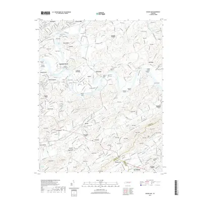
2019 Map of Shooks Gap
USGS Topo · Published 2019About this map
The Tennessee River forms at the confluence of the Holston River and the French Broad River, a landmark hydrographic junction known as the Forks of the River. This eastern reach of Knoxville transitions from suburban development near Island Home and Burlington into a landscape defined by ridges and river bottoms. The map documents numerous ancestral sites, including the Lebanon In The Fork Presbyterian Cem and several family burying grounds such as Armstrong Cem and Johnson Cem. South of the rivers, the terrain rises toward Shooks Gap, where the boundaries of Knox, Sevier, and Blount Counties meet. Notable industrial and transportation landmarks include the Meades Quarry and the Knoxville Downtown Island Airport situated on Dickinson Island. Farther south, the rural character of Shooks and Hendron persists, punctuated by geographic features like High Bluff and Neubert Sulphur Springs.
Find a feature on this map
100 named features on this map. Tap any name to fly to it.
Don’t see what you’re looking for? This feature index may not catch every label — zoom into the map to look around manually.
Map Details
Editions of this 2019 Shooks Gap Map
This is the sole edition of this map. No revisions or reprints were ever made.
Other maps of this area

1886 · Knoxville
USGS Topo · 1:125,000

1892 · Knoxville
USGS Topo · 1:125,000

1894 · Knoxville
USGS Topo · 1:125,000

1895 · Knoxville
USGS Topo · 1:125,000

1897 · Maynardville
USGS Topo · 1:125,000

1900 · Maynardville
USGS Topo · 1:125,000

1901 · Knoxville
USGS Topo · 1:125,000

1935 · Mascot
USGS Topo · 1:24,000

1935 · Knoxville
USGS Topo · 1:48,000

1935 · Straw Plains
USGS Topo · 1:48,000