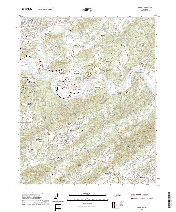
2022 Map of Shooks Gap
USGS Topo · Published 2022About this map
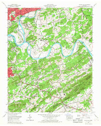
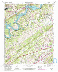
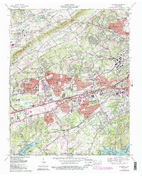
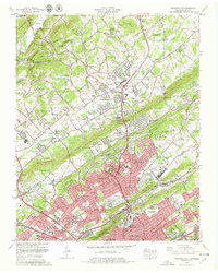
Knoxville and its southeastern rural reaches are defined here by the confluence of the Holston River and the French Broad River, which meet at Forks of the River to form the Tennessee River. This landscape is marked by the industrial history of Meades Quarry and the strategic location of the Knoxville Downtown Island Airport, while the surrounding terrain is a complex series of ridges such as Lundy Ridge and Blackoak Ridge. The area transitions from the urbanized districts of Burlington and Holston Hills into more isolated pockets like Mule Hollow and Happy Hollow.
Find a feature on this map
271 named features on this map. Tap any name to fly to it.
Don’t see what you’re looking for? This feature index may not catch every label — zoom into the map to look around manually.
Map Details
Editions of this 2022 Shooks Gap Map
This is the sole edition of this map. No revisions or reprints were ever made.
Historical Maps of Neubert Springs Through Time
28 maps found

1935 Bearden
Knox County, TN

1935 Fountain City
Knox County, TN

1935 Lovell
Knox County, TN

1936 Friendship
Knox County, TN

1936 Gorryton
Knox County, TN

1936 Powell Station
Knox County, TN

1936 Shooks Gap
Knox County, TN
1940 Bearden
Knox County, TN

1940 Lovell
Knox County, TN
1940 Shooks Gap
Knox County, TN

1941 Fountain City
Knox County, TN

1941 Lovell
Knox County, TN
1941 Powell Station
Knox County, TN

1953 Bearden
Knox County, TN
1953 Fountain City
Knox County, TN
1953 Lovell
Knox County, TN
1953 Shooks Gap
Knox County, TN

1966 Bearden
Knox County, TN
1966 Fountain City
Knox County, TN
1966 Shooks Gap
Knox County, TN
1968 Lovell
Knox County, TN
1978 Bearden
Knox County, TN
1978 Fountain City
Knox County, TN
1979 Shooks Gap
Knox County, TN
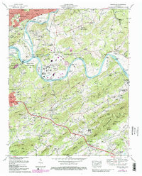
2022 Bearden
Knox County, TN
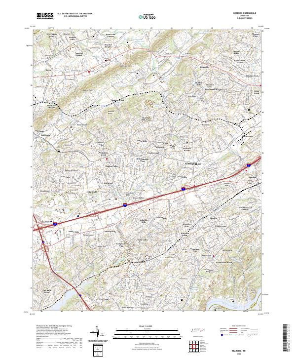
2022 Fountain City
Knox County, TN
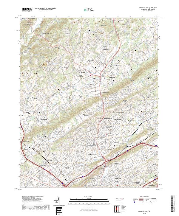
2022 Lovell
Knox County, TN
2022 Shooks Gap
Knox County, TN