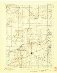
1961 Map of Shopiere
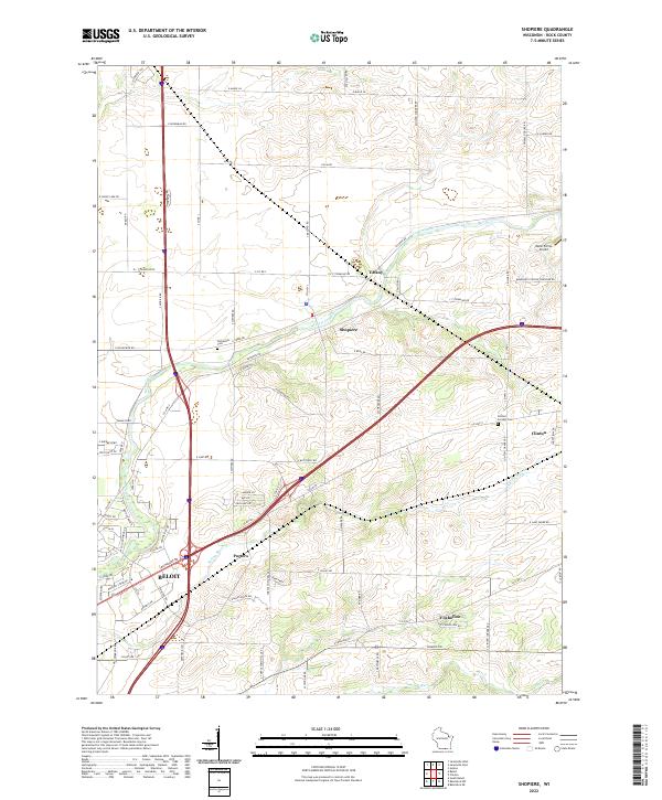
USGS Topo · Published 1977About this map
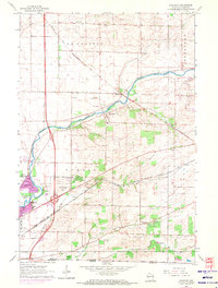
Turtle Creek carves a winding path across the Rock County landscape, anchoring the settlements of Shopiere and Tiffany as they appeared in the mid-1960s with updates through the mid-1970s. The area is defined by its strong agricultural and industrial connections, evidenced by the numerous Gravel Pits and the extensive rail infrastructure of the Chicago and North Western and the Chicago Milwaukee St Paul and Pacific lines. These railroads intersect at Porters, reflecting a period when rail commerce was vital to small-town Wisconsin life.
Find a feature on this map
35 named features on this map. Tap any name to fly to it.
Don’t see what you’re looking for? This feature index may not catch every label — zoom into the map to look around manually.
Map Details
Editions of this 1961 Shopiere Map
3 editions found
Historical Maps of Beloit Through Time
4 maps found