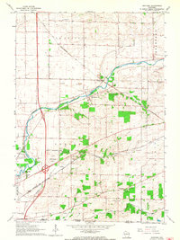
1961 Map of Shopiere
USGS Topo · Published 1964About this map
Turtle Creek winds through the heart of this Rock County landscape, anchoring the small settlements of Shopiere and Tiffany. During the early 1960s, the area's geography was defined by its transition from agricultural townships like La Prairie and Bradford to the industrial outskirts of Beloit. The transportation network is notably dense, featuring the crossing lines of the Chicago and North Western and the Chicago Milwaukee St Paul and Pacific railroads. Local life is centered around rural landmarks such as the La Prairie Sch and Townhall, while industry is represented by numerous Gravel Pits and a Quarry near Porters. The southern edge of the survey tracks the Wisconsin Illinois border, where Turtle Landing Field and the small locality of Foxhollow sit just north of the state line.
Find a feature on this map
33 named features on this map. Tap any name to fly to it.
Don’t see what you’re looking for? This feature index may not catch every label — zoom into the map to look around manually.
Map Details
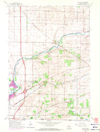
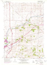
Editions of this 1961 Shopiere Map
3 editions found
Other maps of this area

1891 · Janesville
USGS Topo · 1:62,500

1893 · Janesville
USGS Topo · 1:62,500

1893 · Shopiere
USGS Topo · 1:62,500

1918 · Rockford
USGS Topo · 1:62,500

1918 · Belvidere
USGS Topo · 1:62,500
1938 · Rockford
USGS Topo · 1:62,500

1944 · Belvidere
USGS Topo · 1:62,500

1954 · Rockford
USGS Topo · 1:250,000

1955 · Rockford
USGS Topo · 1:250,000

1958 · Rockford
USGS Topo · 1:250,000