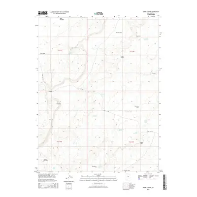
2014 Map of Short Canyon
USGS Topo · Published 2014About this map
Castle Valley and the Coal Cliffs dominate this arid landscape in central Utah, where water management is the primary driver of human modification. The map reveals an intricate network of desert hydrology, including numerous small impoundments such as the Rochester Reservoir, Lone Tree Reservoir, and S Ferron Reservoir. These features, along with names like Molen Seep Wash and Bitter Seep, indicate the vital importance of collecting and managing seasonal runoff in this high-desert environment.
Find a feature on this map
34 named features on this map. Tap any name to fly to it.
Don’t see what you’re looking for? This feature index may not catch every label — zoom into the map to look around manually.
Map Details
Editions of this 2014 Short Canyon Map
This is the sole edition of this map. No revisions or reprints were ever made.
Other maps of this area

1885 · San Rafael
USGS Topo · 1:250,000

1885 · Manti
USGS Topo · 1:250,000

1885 · Fish Lake
USGS Topo · 1:250,000

1886 · Price River
USGS Topo · 1:250,000

1895 · Manti
USGS Topo · 1:250,000

1896 · Price River
USGS Topo · 1:250,000

1896 · Fish Lake
USGS Topo · 1:250,000

1923 · Castle Dale
USGS Topo · 1:62,500

1925 · Castle Dale
USGS Topo · 1:62,500

1952 · San Rafael Knob
USGS Topo · 1:62,500