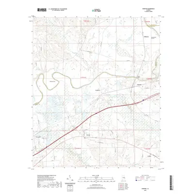
2020 Map of Shorter
USGS Topo · Published 2020About this map
Tuckabatchie Bottoms and the winding course of the Tallapoosa River define this corner of Macon and Elmore counties. The map details a landscape where historical overland routes like the Old Federal Rd intersect with modern infrastructure. Small settlements such as Shorter, Milstead, and Tysonville are distributed across the drainage basins of Tumkeehatchee Creek and Calebee Creek. The presence of the Tysonville Cem and named points like Polecat Springs offers specific targets for genealogical research and local history mapping. Significant river features, including Robinson Bend and the O'Daniel Bridge, highlight the historical importance of the river as both a barrier and a connector for communities near Tallassee. The map illustrates the persistent footprint of land divisions across the fertile river plains and uplands.
Find a feature on this map
51 named features on this map. Tap any name to fly to it.
Don’t see what you’re looking for? This feature index may not catch every label — zoom into the map to look around manually.
Map Details
Editions of this 2020 Shorter Map
This is the sole edition of this map. No revisions or reprints were ever made.
Other maps of this area

1901 · Wetumpka
USGS Topo · 1:125,000

1901 · Wetumpka
USGS Topo · 1:62,500

1903 · Wetumpka
USGS Topo · 1:125,000

1906 · Dadeville
USGS Topo · 1:125,000

1953 · Montgomery
USGS Topo · 1:250,000

1955 · Phenix City
USGS Topo · 1:250,000

1956 · Montgomery
USGS Topo · 1:250,000

1957 · Phenix City
USGS Topo · 1:250,000

1957 · Montgomery
USGS Topo · 1:250,000

1958 · Phenix City
USGS Topo · 1:250,000