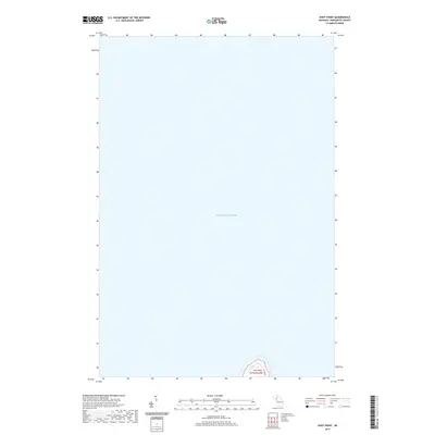
2019 Map of Shot Point
USGS Topo · Published 2019About this map
Lake Superior dominates this portion of the Marquette County coastline, where the waters meet the northern edge of the Upper Peninsula. The shoreline is defined by the prominent rocky projection of Shot Point, a distinctive geographic landmark that reaches into the lake. This specific coastal area, located within t47n r23w, remains largely undeveloped, characterized by the vast expanse of open water and a small segment of the mainland. Access to the shoreline is limited to Co Rd Bat, providing a specific point of reference for local-history researchers or property owners interested in the modern geography of Chocolay Township. The map provides a precise record of the shoreline contours as they existed during the 2019 survey, illustrating the simple intersection of land and lake in this quiet corner of Michigan.
Find a feature on this map
4 named features on this map. Tap any name to fly to it.
Don’t see what you’re looking for? This feature index may not catch every label — zoom into the map to look around manually.
Map Details
Editions of this 2019 Shot Point Map
This is the sole edition of this map. No revisions or reprints were ever made.
Other maps of this area

1907 · Marquette
USGS Topo · 1:62,500

1932 · Skandia NE
USGS Topo · 1:31,680

1932 · Harvey NE
USGS Topo · 1:31,680

1950 · Skandia NW
USGS Topo · 1:31,680

1952 · Gwinn
USGS Topo · 1:62,500

1954 · Marquette
USGS Topo · 1:62,500

1958 · Laughing Fish Point
USGS Topo · 1:62,500

1958 · Skandia
USGS Topo · 1:62,500

1958 · Marquette
USGS Topo · 1:250,000

1960 · Marquette
USGS Topo · 1:250,000