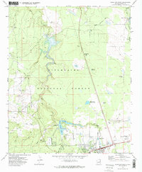
1970 Map of Show Low North
USGS Topo · Published 1973About this map
Show Low and its surrounding high-country landscape are captured here during a period of transition in the late 1960s. The map illustrates the burgeoning water infrastructure of the White Mountains, centered on the Fools Hollow Lake and White Mountain Lake reservoirs. The settlement patterns show a mix of established town life near West Adams St and newer developments like the Trailer Park and the nearby Golf Course.
Find a feature on this map
43 named features on this map. Tap any name to fly to it.
Don’t see what you’re looking for? This feature index may not catch every label — zoom into the map to look around manually.
Map Details
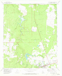
Editions of this 1970 Show Low North Map
2 editions found
Other maps of this area

1886 · St Johns
USGS Topo · 1:250,000

1886 · Holbrook
USGS Topo · 1:250,000

1892 · St Johns
USGS Topo · 1:250,000

1893 · Holbrook
USGS Topo · 1:250,000

1954 · Holbrook
USGS Topo · 1:250,000

1954 · Saint Johns
USGS Topo · 1:250,000

1957 · Holbrook
USGS Topo · 1:250,000

1957 · Saint Johns
USGS Topo · 1:250,000

1958 · Saint Johns
USGS Topo · 1:250,000

1958 · Holbrook
USGS Topo · 1:250,000