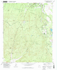
1977 Map of Show Low South
USGS Topo · Published 1978About this map
The southern fringes of Show Low meet the high-altitude pine forests and canyons of the Mogollon Rim in this late-1970s survey. The landscape is divided between the Sitgreaves National Forest and the northern boundary of the Fort Apache Indian Reservation, where the Forestdale Trading Post sits along the road near Forestdale Spring. This period of Navajo County history shows the early infrastructure of the region, including the Jr High Sch and Hospital in town, alongside recreational sites like Show Low Lake, Camp Grace, and Camp Tatiyee.
Find a feature on this map
62 named features on this map. Tap any name to fly to it.
Don’t see what you’re looking for? This feature index may not catch every label — zoom into the map to look around manually.
Map Details
Editions of this 1977 Show Low South Map
2 editions found
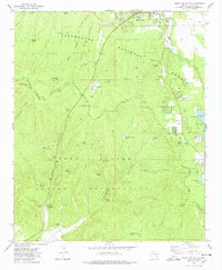
Other maps of this area

1886 · St Johns
USGS Topo · 1:250,000

1886 · Holbrook
USGS Topo · 1:250,000

1892 · St Johns
USGS Topo · 1:250,000

1893 · Holbrook
USGS Topo · 1:250,000

1954 · Holbrook
USGS Topo · 1:250,000

1954 · Saint Johns
USGS Topo · 1:250,000

1957 · Holbrook
USGS Topo · 1:250,000

1957 · Saint Johns
USGS Topo · 1:250,000

1958 · Saint Johns
USGS Topo · 1:250,000

1958 · Holbrook
USGS Topo · 1:250,000