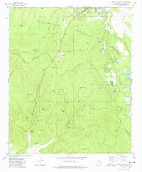
1977 Map of Show Low South
USGS Topo · Published 1978About this map
The Mogollon Rim dramatically divides the high country of the Sitgreaves National Forest from the canyon-riven lands of the Fort Apache Indian Reservation. This late 1970s survey captures Show Low during a period of transition, showing the town's expansion southward toward Show Low Lake and the Ellsworth Hills. The landscape is characterized by a sophisticated water-management network of tanks and springs, such as Pot Hole Tank and Forestdale Spring, essential for both forest management and the cattle operations on the reservation.
Find a feature on this map
64 named features on this map. Tap any name to fly to it.
Don’t see what you’re looking for? This feature index may not catch every label — zoom into the map to look around manually.
Map Details
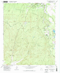
Editions of this 1977 Show Low South Map
2 editions found
Other maps of this area

1886 · St Johns
USGS Topo · 1:250,000

1886 · Holbrook
USGS Topo · 1:250,000

1892 · St Johns
USGS Topo · 1:250,000

1893 · Holbrook
USGS Topo · 1:250,000

1954 · Holbrook
USGS Topo · 1:250,000

1954 · Saint Johns
USGS Topo · 1:250,000

1957 · Holbrook
USGS Topo · 1:250,000

1957 · Saint Johns
USGS Topo · 1:250,000

1958 · Saint Johns
USGS Topo · 1:250,000

1958 · Holbrook
USGS Topo · 1:250,000