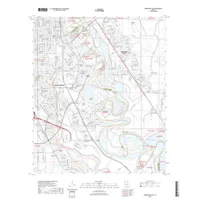
2018 Map of Shreveport East
USGS Topo · Published 2018About this map
The Red River defines the landscape of this 2018 survey, separating the urban centers of Shreveport and Bossier City while creating a complex system of islands and peninsulas. Institutional land use is prominent, ranging from the expansive Barksdale Air Force Base in the northeast to the campuses of Centenary College of Louisiana and Louisiana State Univ - Shreveport. The river's historical shifts are visible in the winding oxbows and islands like Wright Island, Anderson Island, and Bagley Island, which break up the traditional grid of the city streets.
Find a feature on this map
63 named features on this map. Tap any name to fly to it.
Don’t see what you’re looking for? This feature index may not catch every label — zoom into the map to look around manually.
Map Details
Editions of this 2018 Shreveport East Map
This is the sole edition of this map. No revisions or reprints were ever made.
Other maps of this area

1932 · Bossier SE
USGS Topo · 1:31,680

1932 · Bossier SW
USGS Topo · 1:31,680

1932 · Shreveport SE
USGS Topo · 1:31,680

1938 · Arnsberg
USGS Topo · 1:31,680

1941 · Forbing
USGS Topo · 1:31,680

1945 · Greenwood
USGS Topo · 1:62,500

1948 · Mooringsport
USGS Topo · 1:62,500

1948 · Bossier City
USGS Topo · 1:62,500

1948 · Caspiana
USGS Topo · 1:62,500

1955 · Shreveport
USGS Topo · 1:250,000