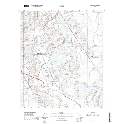
2020 Map of Shreveport East
USGS Topo · Published 2020About this map
Shreveport and Bossier City are defined by the winding course of the Red River, which carves a complex geography of points and islands through the center of this 2020 survey. Modern infrastructure like the E Bert Kouns Industrial Loop and Clyde Fant Pkwy connects established neighborhoods to newer developments and the sprawling Louisiana State University - Shreveport campus. The river's historical shifts are evident in features like Shreves Cutoff and Bagley Island, alongside recreational trails such as the Orchard Trail Blue.
Find a feature on this map
67 named features on this map. Tap any name to fly to it.
Don’t see what you’re looking for? This feature index may not catch every label — zoom into the map to look around manually.
Map Details
Editions of this 2020 Shreveport East Map
This is the sole edition of this map. No revisions or reprints were ever made.
Other maps of this area

1932 · Bossier SE
USGS Topo · 1:31,680

1932 · Bossier SW
USGS Topo · 1:31,680

1932 · Shreveport SE
USGS Topo · 1:31,680

1938 · Arnsberg
USGS Topo · 1:31,680

1941 · Forbing
USGS Topo · 1:31,680

1945 · Greenwood
USGS Topo · 1:62,500

1948 · Mooringsport
USGS Topo · 1:62,500

1948 · Bossier City
USGS Topo · 1:62,500

1948 · Caspiana
USGS Topo · 1:62,500

1955 · Shreveport
USGS Topo · 1:250,000