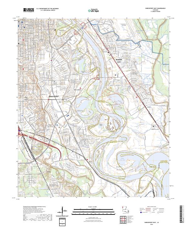
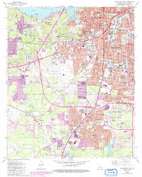
2024 Map of Shreveport East
USGS Topo · Published 2024About this map
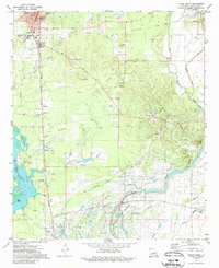
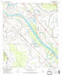
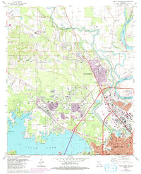
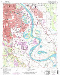
The Red River defines the landscape of the eastern Shreveport area, carving a winding path that separates Shreveport from Bossier City. The floodplains are marked by complex river features such as Shreves Cutoff, Harts Island, and Eagle Bend Point, illustrating the dynamic nature of the waterway. Much of the riparian habitat is preserved within the Red River National Wildlife Refuge, which provides a natural buffer against the urban expansion of neighborhoods like Dixie Gardens and Cedar Grove.
Find a feature on this map
70 named features on this map. Tap any name to fly to it.
Don’t see what you’re looking for? This feature index may not catch every label — zoom into the map to look around manually.
Map Details
Editions of this 2024 Shreveport East Map
This is the sole edition of this map. No revisions or reprints were ever made.
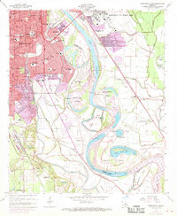
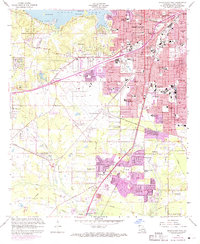
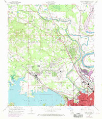
Historical Maps of University Park Through Time
32 maps found

1932 Hosston NW
Caddo Parish, LA

1932 Hosston SE
Caddo Parish, LA

1932 Hosston SW
Caddo Parish, LA

1932 Shreveport NE
Caddo Parish, LA

1932 Shreveport SE
Caddo Parish, LA

1941 Forbing
Caddo Parish, LA

1955 North Shreveport
Caddo Parish, LA

1955 Shreveport East
Caddo Parish, LA

1955 Shreveport West
Caddo Parish, LA
1959 Shreveport East
Caddo Parish, LA
1959 Shreveport West
Caddo Parish, LA
1960 North Highlands
Caddo Parish, LA

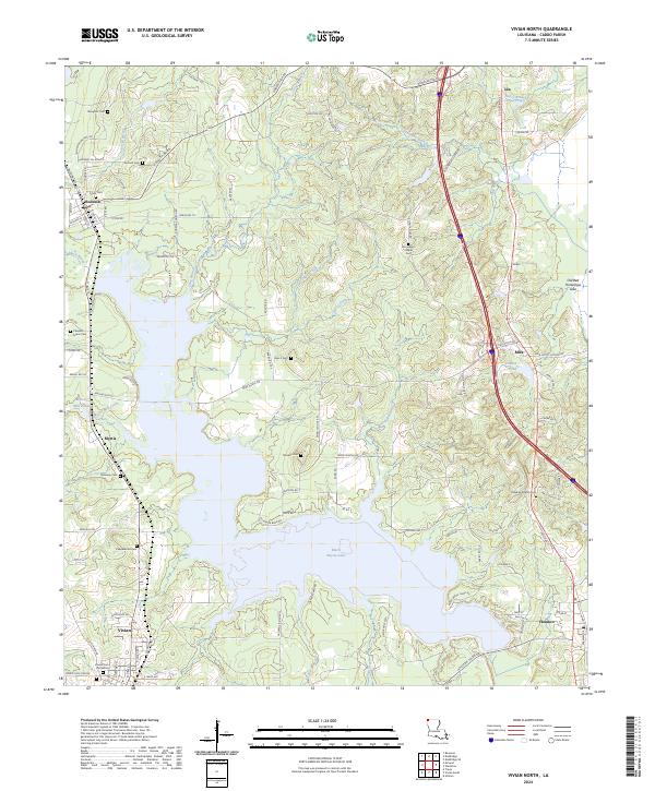
1971 Vivian North
Caddo Parish, LA
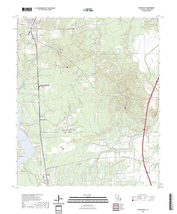
1971 Vivian South
Caddo Parish, LA

1975 North Highlands
Caddo Parish, LA

1975 Shreveport East
Caddo Parish, LA

1975 Shreveport West
Caddo Parish, LA
1980 Elm Grove
Caddo Parish, LA
1980 North Highlands
Caddo Parish, LA
1980 Shreveport East
Caddo Parish, LA
1980 Shreveport West
Caddo Parish, LA

1982 Dixie
Caddo Parish, LA
1982 Spring Ridge
Caddo Parish, LA
2024 Dixie
Caddo Parish, LA
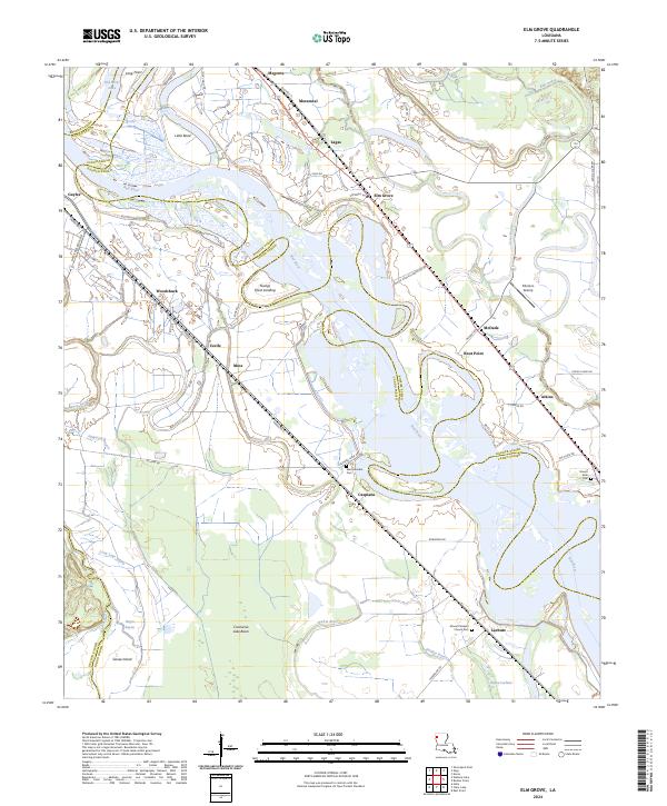
2024 Elm Grove
Caddo Parish, LA
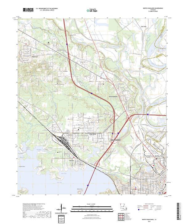
2024 North Highlands
Caddo Parish, LA
2024 Shreveport East
Caddo Parish, LA
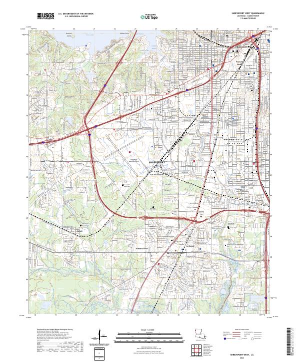
2024 Shreveport West
Caddo Parish, LA
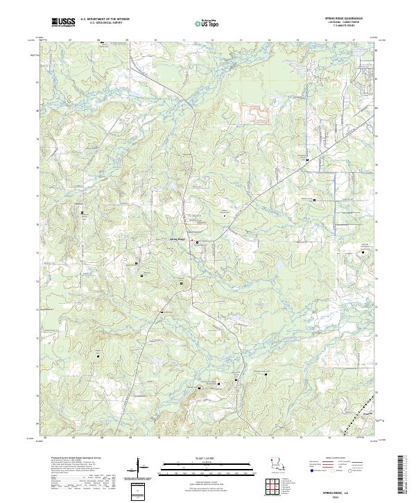
2024 Spring Ridge
Caddo Parish, LA
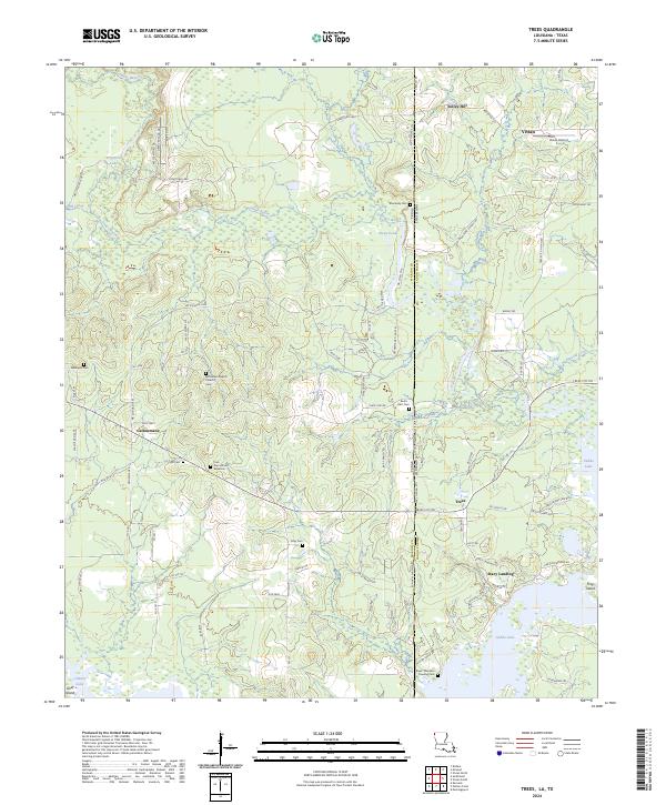
2024 Trees
Caddo Parish, LA
2024 Vivian North
Caddo Parish, LA
2024 Vivian South
Caddo Parish, LA