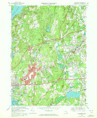
1969 Map of Shrewsbury
USGS Topo · Published 1972About this map
The Wachusett Reservoir defines the northwest corner of this 1969 survey, where the landscape is characterized by a series of drumlin-like hills including Tower Hill and Faggot Hill. The central portion of the sheet shows the transition from the village center of Shrewsbury to more developed residential corridors near Fairlawn and Edgemere on the shores of Lake Quinsigamond. This era shows significant transportation infrastructure, with the recently completed Interchange 23 and Interchange 22 connecting the Boston Worcester Turnpike to the expanding suburban landscape.
Find a feature on this map
170 named features on this map. Tap any name to fly to it.
Don’t see what you’re looking for? This feature index may not catch every label — zoom into the map to look around manually.
Map Details
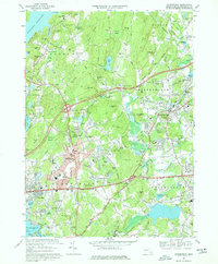
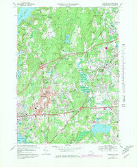
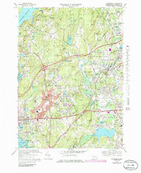
Editions of this 1969 Shrewsbury Map
4 editions found
Other maps of this area

1885 · Worcester
USGS Topo · 1:62,500

1886 · Worcester
USGS Topo · 1:62,500

1886 · Blackstone
USGS Topo · 1:62,500

1887 · Marlboro
USGS Topo · 1:62,500

1889 · Marlboro
USGS Topo · 1:62,500

1889 · Blackstone
USGS Topo · 1:62,500

1889 · Webster
USGS Topo · 1:62,500

1892 · Webster
USGS Topo · 1:62,500

1892 · Worcester
USGS Topo · 1:62,500

1893 · Blackstone
USGS Topo · 1:62,500