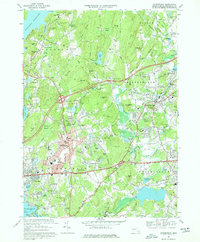
1969 Map of Shrewsbury
USGS Topo · Published 1977About this map
The Wachusett Reservoir defines the northwestern corner of this landscape, its waters reaching into Andrews Harbor and Lord Cove below the Scar Hill Bluffs. Settlement patterns here reflect the mid-century growth of Worcester’s eastern suburbs, where the established centers of Shrewsbury and Northborough are joined by residential developments in Fairlawn and Edgemere. The area is notably dense with institutional land uses, from the sprawling grounds of the Grafton State Hospital to the Masonic Nursing Home and the Lyman State Sch.
Find a feature on this map
136 named features on this map. Tap any name to fly to it.
Don’t see what you’re looking for? This feature index may not catch every label — zoom into the map to look around manually.
Map Details
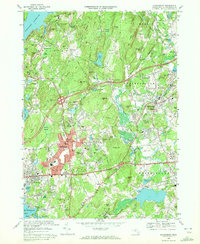
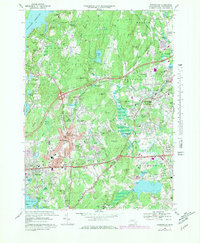
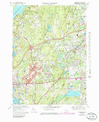
Editions of this 1969 Shrewsbury Map
4 editions found
Other maps of this area

1885 · Worcester
USGS Topo · 1:62,500

1886 · Worcester
USGS Topo · 1:62,500

1886 · Blackstone
USGS Topo · 1:62,500

1887 · Marlboro
USGS Topo · 1:62,500

1889 · Marlboro
USGS Topo · 1:62,500

1889 · Blackstone
USGS Topo · 1:62,500

1889 · Webster
USGS Topo · 1:62,500

1892 · Webster
USGS Topo · 1:62,500

1892 · Worcester
USGS Topo · 1:62,500

1893 · Blackstone
USGS Topo · 1:62,500