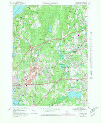
1969 Map of Shrewsbury
USGS Topo · Published 1979About this map
Wachusett Reservoir anchors the northwest corner of this central Massachusetts landscape, where suburban expansion in the late 1960s meets older institutional landmarks and industrial corridors. The transition from town centers like Shrewsbury and Northborough to rural woodlots is marked by massive state facilities, including the Grafton State Hospital and Lyman State Sch. Transportation infrastructure defines the era, with the Conrail rail lines and the Boston Worcester Turnpike facilitating movement between local hubs like South Shrewsbury and South Berlin.
Find a feature on this map
105 named features on this map. Tap any name to fly to it.
Don’t see what you’re looking for? This feature index may not catch every label — zoom into the map to look around manually.
Map Details
Editions of this 1969 Shrewsbury Map
4 editions found
Other maps of this area

1885 · Worcester
USGS Topo · 1:62,500

1886 · Worcester
USGS Topo · 1:62,500

1886 · Blackstone
USGS Topo · 1:62,500

1887 · Marlboro
USGS Topo · 1:62,500

1889 · Marlboro
USGS Topo · 1:62,500

1889 · Blackstone
USGS Topo · 1:62,500

1889 · Webster
USGS Topo · 1:62,500

1892 · Webster
USGS Topo · 1:62,500

1892 · Worcester
USGS Topo · 1:62,500

1893 · Blackstone
USGS Topo · 1:62,500