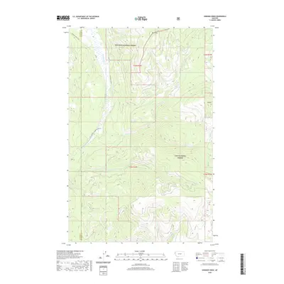
2020 Map of Shroder Creek
USGS Topo · Published 2020About this map
Thompson River carves through the Western Montana landscape, serving as the primary drainage and a significant corridor for both forestry and travel. This region is a confluence of two major timber preserves, where the southern reaches of the Kootenai National Forest meet the northern boundaries of the Lolo National Forest. The presence of the Thompson River ACM Rd and the ACM Rd indicates a geography shaped by access for commercial timber and land management, while the tiny settlement of Pinehill stands as a rare point of human habitation among the complex ridges.
Find a feature on this map
55 named features on this map. Tap any name to fly to it.
Don’t see what you’re looking for? This feature index may not catch every label — zoom into the map to look around manually.
Map Details
Editions of this 2020 Shroder Creek Map
This is the sole edition of this map. No revisions or reprints were ever made.
Other maps of this area

1920 · Jennings
USGS Topo · 1:125,000

1935 · Thompson Lakes
USGS Topo · 1:96,000

1937 · Thompson Falls
USGS Topo · 1:125,000

1942 · Thompson Lakes
USGS Topo · 1:125,000

1956 · Wallace
USGS Topo · 1:250,000

1957 · Kalispell
USGS Topo · 1:250,000

1960 · Kalispell
USGS Topo · 1:250,000

1960 · Wallace
USGS Topo · 1:250,000

1961 · Kalispell
USGS Topo · 1:250,000

1964 · Meadow Peak
USGS Topo · 1:24,000