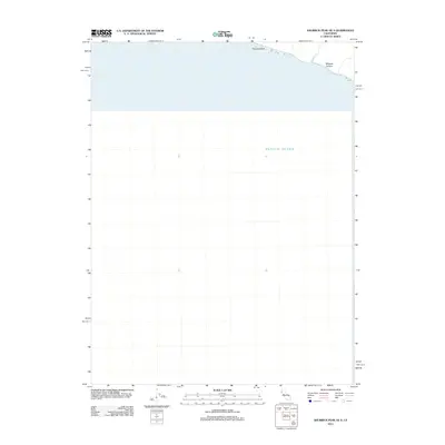
2012 Map of Shubrick Peak OE S
USGS Topo · Published 2012About this map
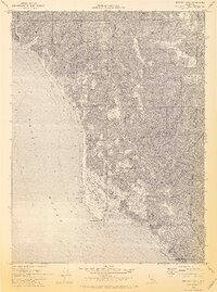
Shubrick Rock stands as a prominent landmark along this remote stretch of the Humboldt County coastline in Northern California. The map primarily documents the marine environment of the Pacific Ocean and the narrow littoral zone where the land abruptly meets the sea. This coastal interface is marked by the mouth of Shipman Cr, which drains toward the underwater expanse of Delgada Canyon. As a 2012 survey, the map records the natural shoreline and bathymetric features before significant coastal erosion or shifting tides altered the topographic profile of this isolated maritime region.
Find a feature on this map
4 named features on this map. Tap any name to fly to it.
Don’t see what you’re looking for? This feature index may not catch every label — zoom into the map to look around manually.
Map Details
Editions of this 2012 Shubrick Peak OE S Map
This is the sole edition of this map. No revisions or reprints were ever made.
Other maps of this area

1920 · Pt. Delagda
USGS Topo · 1:62,500

1926 · Gorda
USGS Topo · 1:62,500

1949 · Eureka
USGS Topo · 1:250,000

1949 · Point Delgada
USGS Topo · 1:62,500

1951 · Point Delgada
USGS Topo · 1:62,500

1958 · Eureka
USGS Topo · 1:250,000
1958 · Eureka
USGS Topo · 1:250,000
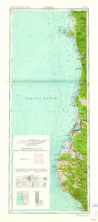
1961 · Eureka
USGS Topo · 1:250,000
1969 · Cooskie Creek
USGS Topo · 1:24,000
1969 · Shelter Cove
USGS Topo · 1:24,000