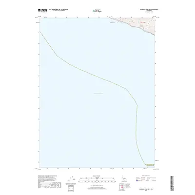
2018 Map of Shubrick Peak OE S
USGS Topo · Published 2018About this map
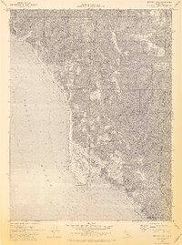
The coast of Northern California where Humboldt and Mendocino counties meet is defined here by the meeting of steep coastal topography and the deep waters of the Pacific Ocean. This 2018 survey captures the rugged shoreline near Shubrick Rock, a prominent coastal landmark situated just offshore. The land rises sharply from the sea, carved by drainage features such as Shipman Cr, which flows toward the hidden depths of the offshore Delgada Canyon. The map illustrates the sparsely populated nature of this coastal boundary, focusing on the natural transition from the upland terrain to the marine environment. The lack of road networks or developed settlements highlights the isolation of this specific stretch of the California coast near the Humboldt Co and Mendocino Co line.
Find a feature on this map
5 named features on this map. Tap any name to fly to it.
Don’t see what you’re looking for? This feature index may not catch every label — zoom into the map to look around manually.
Map Details
Editions of this 2018 Shubrick Peak OE S Map
This is the sole edition of this map. No revisions or reprints were ever made.
Other maps of this area

1920 · Pt. Delagda
USGS Topo · 1:62,500

1926 · Gorda
USGS Topo · 1:62,500

1949 · Eureka
USGS Topo · 1:250,000

1949 · Point Delgada
USGS Topo · 1:62,500

1951 · Point Delgada
USGS Topo · 1:62,500

1958 · Eureka
USGS Topo · 1:250,000
1958 · Eureka
USGS Topo · 1:250,000
1961 · Eureka
USGS Topo · 1:250,000
1969 · Cooskie Creek
USGS Topo · 1:24,000
1969 · Shelter Cove
USGS Topo · 1:24,000