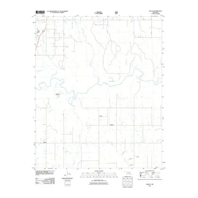
2010 Map of Shults
USGS Topo · Published 2010About this map
Little River winds through the heart of this McCurtain County landscape, defining the local geography alongside numerous tributaries and small lakes. The rural character of the region is punctuated by small settlements like Shults, Redland, and Hill Chapel, which serve as the primary anchors for the surrounding agricultural and timbered lands. Water management is a visible priority here, evidenced by features such as Deeberry Lake, Pine Lake, and the Oknoname 089014 Dam.
Find a feature on this map
36 named features on this map. Tap any name to fly to it.
Don’t see what you’re looking for? This feature index may not catch every label — zoom into the map to look around manually.
Map Details
Editions of this 2010 Shults Map
This is the sole edition of this map. No revisions or reprints were ever made.
Other maps of this area
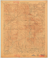
1902 · Lukfata
USGS Topo · 1:125,000

1950 · Mcalester
USGS Topo · 1:250,000
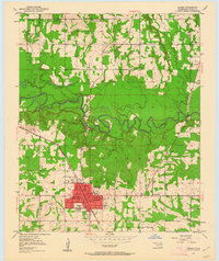
1950 · Idabel
USGS Topo · 1:24,000
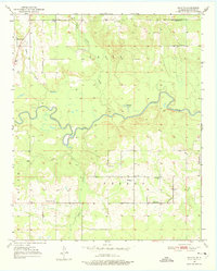
1950 · Shults
USGS Topo · 1:24,000
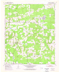
1950 · Haworth
USGS Topo · 1:24,000
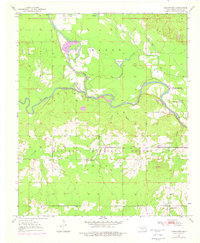
1950 · Goodwater
USGS Topo · 1:24,000
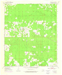
1950 · Bokhoma
USGS Topo · 1:24,000
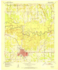
1951 · Idabel
USGS Topo · 1:24,000
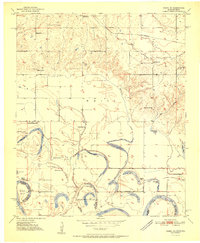
1951 · Idabel SE
USGS Topo · 1:24,000
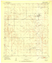
1951 · Haworth
USGS Topo · 1:24,000