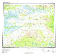
1955 Map of Shungnak
USGS Topo · Published 1975About this map
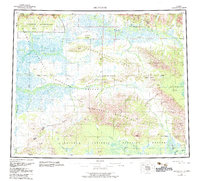
The Kobuk River corridor serves as the primary artery of life and transport in this 1955 survey of the western Brooks Range foothills. Native settlements like Shungnak and Kobuk are concentrated along the northern banks, positioned near the mouths of tributaries such as the Shungnak River and Cosmos Creek. These communities represent long-standing hubs of the region, situated where the high terrain of the Waring Mountains and Sheklukshuk Range begins to give way to the river valley.
Find a feature on this map
62 named features on this map. Tap any name to fly to it.
Don’t see what you’re looking for? This feature index may not catch every label — zoom into the map to look around manually.
Map Details
Editions of this 1955 Shungnak Map
6 editions found

Other maps of this area

1951 · Candle
USGS Topo · 1:250,000

1951 · Baird Mountains
USGS Topo · 1:250,000

1951 · Selawik
USGS Topo · 1:250,000

1951 · Shungnak
USGS Topo · 1:250,000

1951 · Kateel River
USGS Topo · 1:250,000

1951 · Hughes
USGS Topo · 1:250,000

1951 · Melozitna
USGS Topo · 1:250,000

1951 · Survey Pass
USGS Topo · 1:250,000

1951 · Ambler River
USGS Topo · 1:250,000

1954 · Kateel River D-1
USGS Topo · 1:63,360