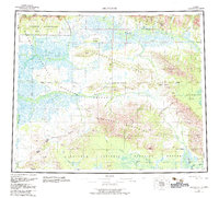
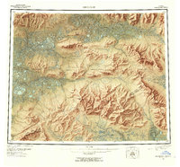
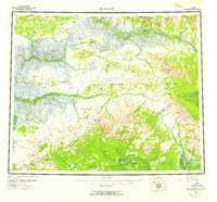
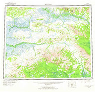
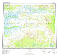
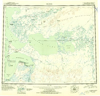
1955 Map of Shungnak
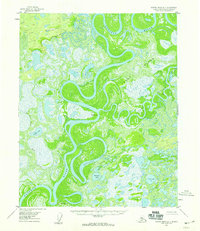
USGS Topo · Published 1983About this map
Kobuk River drainage systems define this mid-century look at the Alaskan interior, where the settlements of Shungnak and Kobuk serve as the primary hubs for a landscape of high peaks and river flats. The terrain is structured by the Sheklukshuk Range and the Purcell Mountains, with the Continental Divide winding through the southern reaches. Local geography is marked by historic sites and peaks like Kalla (Site) and Ferguson Peak.
Find a feature on this map
47 named features on this map. Tap any name to fly to it.
Don’t see what you’re looking for? This feature index may not catch every label — zoom into the map to look around manually.
Map Details
Editions of this 1955 Shungnak Map
6 editions found
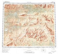
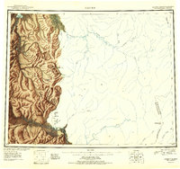
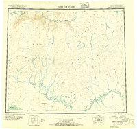
Other maps of this area
1951 · Candle
USGS Topo · 1:250,000
1951 · Baird Mountains
USGS Topo · 1:250,000
1951 · Selawik
USGS Topo · 1:250,000
1951 · Shungnak
USGS Topo · 1:250,000

1951 · Kateel River
USGS Topo · 1:250,000
1951 · Hughes
USGS Topo · 1:250,000
1951 · Melozitna
USGS Topo · 1:250,000

1951 · Survey Pass
USGS Topo · 1:250,000

1951 · Ambler River
USGS Topo · 1:250,000
1954 · Kateel River D-1
USGS Topo · 1:63,360