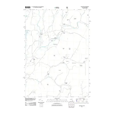
2011 Map of Shushan
USGS Topo · Published 2011About this map
Batten Kill meanders through this agricultural valley, anchoring a series of small settlements and family farms along the New York and Vermont border. The village of Shushan sits near the river's bend, while the Eagleville Covered Bridge serves as a prominent landmark connecting the local road network near Eagleville. The map reveals a landscape defined by its hollows and ridges, such as Murray Hollow and Camden Ridge, where narrow roads like Camden Valley Rd follow the natural contours of the land.
Find a feature on this map
67 named features on this map. Tap any name to fly to it.
Don’t see what you’re looking for? This feature index may not catch every label — zoom into the map to look around manually.
Map Details
Editions of this 2011 Shushan Map
This is the sole edition of this map. No revisions or reprints were ever made.
Other maps of this area

1894 · Equinox
USGS Topo · 1:62,500

1895 · Cambridge
USGS Topo · 1:62,500

1896 · Equinox
USGS Topo · 1:62,500

1897 · Hoosick
USGS Topo · 1:62,500

1898 · Cambridge
USGS Topo · 1:62,500

1898 · Bennington
USGS Topo · 1:62,500

1900 · Taconic
USGS Topo · 1:125,000

1900 · Equinox
USGS Topo · 1:62,500

1901 · Cambridge
USGS Topo · 1:62,500

1903 · Mettawee
USGS Topo · 1:125,000