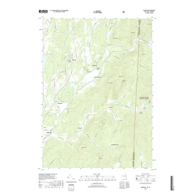
2019 Map of Shushan
USGS Topo · Published 2019About this map
Batten Kill and White Cr define the hydrological character of this borderland, where the New York-Vermont state line cuts through the foothills of the Green Mountain National Forest. The settlement pattern is anchored by the historic crossings at Shushan Covered Bridge and Eagleville Covered Bridge, marking established travel corridors that have persisted through the generations. The landscape transitions from the level expanses of The Plains to the prominent heights of Sugarloaf and Dugway Mtn. For genealogists and local historians, the map is remarkably dense with family-named landmarks and secluded burial grounds, such as the Le Barron - Harrington Farm Cem and Rhoda Blowers Cem, which reflect the area's agricultural heritage and decentralized early settlement along hollows like Murray Hollow and McKie Hollow.
Find a feature on this map
93 named features on this map. Tap any name to fly to it.
Don’t see what you’re looking for? This feature index may not catch every label — zoom into the map to look around manually.
Map Details
Editions of this 2019 Shushan Map
This is the sole edition of this map. No revisions or reprints were ever made.
Other maps of this area

1894 · Equinox
USGS Topo · 1:62,500

1895 · Cambridge
USGS Topo · 1:62,500

1896 · Equinox
USGS Topo · 1:62,500

1897 · Hoosick
USGS Topo · 1:62,500

1898 · Cambridge
USGS Topo · 1:62,500

1898 · Bennington
USGS Topo · 1:62,500

1900 · Taconic
USGS Topo · 1:125,000

1900 · Equinox
USGS Topo · 1:62,500

1901 · Cambridge
USGS Topo · 1:62,500

1903 · Mettawee
USGS Topo · 1:125,000