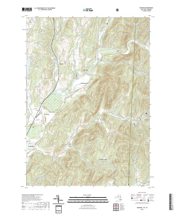
2023 Map of Shushan
USGS Topo · Published 2023About this map
The Batten Kill meanders through the valley at Shushan and Eagleville, defining the agricultural and residential layout of this Washington County borderland. This landscape is a patchwork of small settlements and family farmsteads, evidenced by numerous private burial sites such as the Guber Farm Cem and Le Barron Harrington Farm Cem. The terrain rises sharply away from the river valleys into prominent ridges like Goose Egg Ridge and Camden Ridge, creating natural corridors that have shaped local travel since the earliest surveys.
Find a feature on this map
88 named features on this map. Tap any name to fly to it.
Don’t see what you’re looking for? This feature index may not catch every label — zoom into the map to look around manually.
Map Details
Editions of this 2023 Shushan Map
This is the sole edition of this map. No revisions or reprints were ever made.
Other maps of this area

1894 · Equinox
USGS Topo · 1:62,500

1895 · Cambridge
USGS Topo · 1:62,500

1896 · Equinox
USGS Topo · 1:62,500

1897 · Hoosick
USGS Topo · 1:62,500

1898 · Cambridge
USGS Topo · 1:62,500

1898 · Bennington
USGS Topo · 1:62,500

1900 · Taconic
USGS Topo · 1:125,000

1900 · Equinox
USGS Topo · 1:62,500

1901 · Cambridge
USGS Topo · 1:62,500

1903 · Mettawee
USGS Topo · 1:125,000