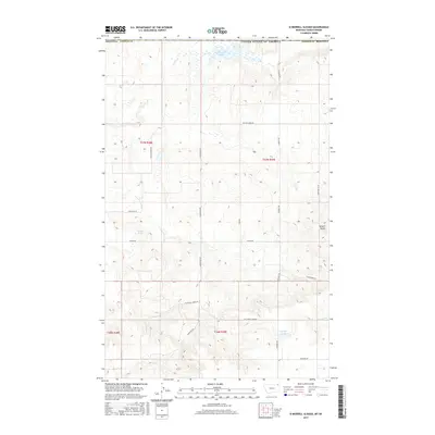
2017 Map of Si Merrell Slough
USGS Topo · Published 2017About this map
Si Merrell Slough and the surrounding high plains of Daniels County are defined by a network of drainage channels and small depressions just south of the Canadian border. This 2017 survey by the U.S. Geological Survey illustrates a sparsely populated agrarian landscape partitioned by the Public Land Survey System. Prominent terrain features like Square Butte rise above the drainage of Whitetail Creek and Outlet Creek, providing landmarks in an otherwise open, rolling topography. The region's transport is dictated by a grid of rural routes, including W Whitetail Road and W Charlie Creek Road, which connect isolated ranching or farming properties. Small water bodies like Willard Slough and Paradis Pond dot the landscape, indicating the seasonal water retention vital for the local environment and livestock.
Find a feature on this map
25 named features on this map. Tap any name to fly to it.
Don’t see what you’re looking for? This feature index may not catch every label — zoom into the map to look around manually.
Map Details
Editions of this 2017 Si Merrell Slough Map
This is the sole edition of this map. No revisions or reprints were ever made.
Other maps of this area

1954 · Wolf Point
USGS Topo · 1:250,000

1958 · Wolf Point
USGS Topo · 1:250,000

1973 · Madoc
USGS Topo · 1:24,000

1973 · Flaxville
USGS Topo · 1:24,000

1973 · Whitetail
USGS Topo · 1:24,000

1973 · Scobey
USGS Topo · 1:24,000

1973 · Scobey NW
USGS Topo · 1:24,000

1973 · Si Merrell Slough
USGS Topo · 1:24,000

1983 · Scobey
USGS Topo · 1:100,000
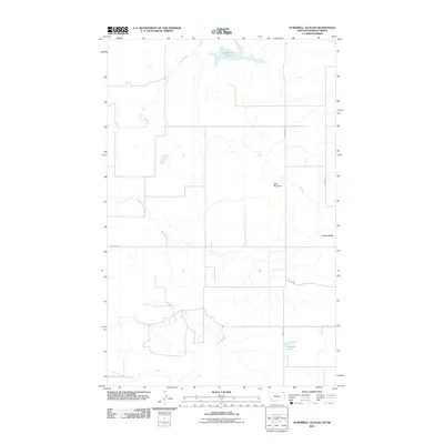
2011 · Si Merrell Slough
USGS Topo · 1:24,000