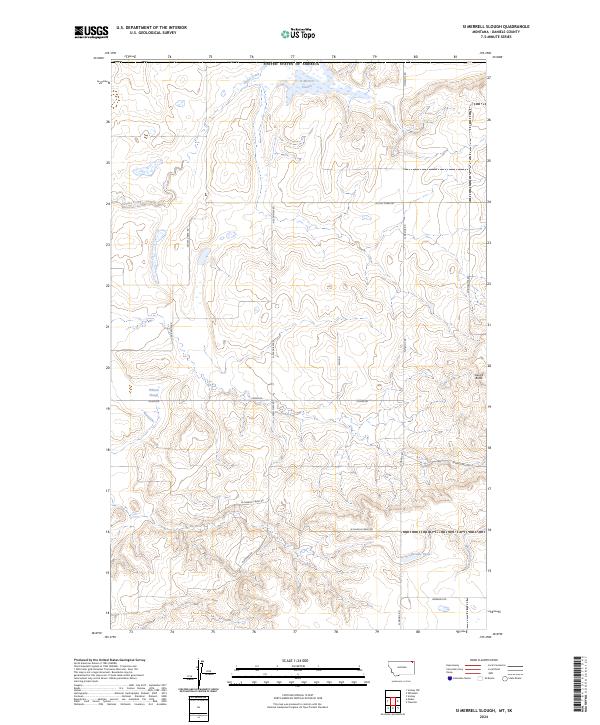
2024 Map of Si Merrell Slough
USGS Topo · Published 2024About this map
The Daniels County Waterfowl Production Area dominates the northern reaches of this landscape, marking a protected environment near the international border with the United States of America. This prairie terrain is defined by its depressions and drainage patterns, most notably the namesake Si Merrell Slough and the nearby Willard Slough. These seasonal water bodies and the winding course of Outlet Creek suggest a landscape shaped by glacial recession and high plains hydrology.
Find a feature on this map
24 named features on this map. Tap any name to fly to it.
Don’t see what you’re looking for? This feature index may not catch every label — zoom into the map to look around manually.
Map Details
Editions of this 2024 Si Merrell Slough Map
This is the sole edition of this map. No revisions or reprints were ever made.
Other maps of this area

1954 · Wolf Point
USGS Topo · 1:250,000

1958 · Wolf Point
USGS Topo · 1:250,000

1973 · Madoc
USGS Topo · 1:24,000

1973 · Flaxville
USGS Topo · 1:24,000

1973 · Whitetail
USGS Topo · 1:24,000

1973 · Scobey
USGS Topo · 1:24,000

1973 · Scobey NW
USGS Topo · 1:24,000

1973 · Si Merrell Slough
USGS Topo · 1:24,000

1983 · Scobey
USGS Topo · 1:100,000
2011 · Si Merrell Slough
USGS Topo · 1:24,000