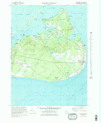
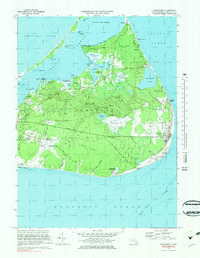
1972 Map of Siasconset
USGS Topo · Published 1983About this map
Nantucket Island's eastern shores and inland moors are captured here during a period of transition in the early 1970s. The village of Siasconset sits prominently on the eastern bluff, while smaller settlements like Wauwinet, Polpis, and Quidnet dot the harbor-facing and seaward coasts. This survey highlights the island's unique hydrography, from the sheltered waters of Head of the Harbor and Folgers Marsh to the exposed South Shore and the treacherous Old Man Shoal offshore.
Find a feature on this map
72 named features on this map. Tap any name to fly to it.
Don’t see what you’re looking for? This feature index may not catch every label — zoom into the map to look around manually.
Map Details
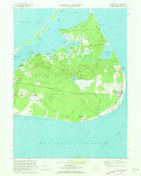
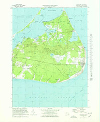
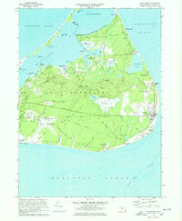
Editions of this 1972 Siasconset Map
5 editions found
Other maps of this area

1889 · Nantucket
USGS Topo · 1:62,500

1893 · Nantucket
USGS Topo · 1:62,500

1901 · Nantucket
USGS Topo · 1:62,500

1942 · Nantucket
USGS Topo · 1:125,000

1945 · Nantucket
USGS Topo · 1:31,680

1945 · Siasconset
USGS Topo · 1:31,680

1945 · Great Point
USGS Topo · 1:31,680

1947 · Providence
USGS Topo · 1:250,000

1948 · Providence
USGS Topo · 1:250,000

1951 · Great Point
USGS Topo · 1:31,680