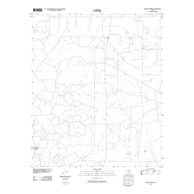
2010 Map of Sibley Creek
USGS Topo · Published 2010About this map
Bush Knob Cemetery and the rural landscape of Throckmorton County are preserved in this 2010 survey, illustrating a region defined by its drainage basins and isolated settlements. The Clear Fork Brazos River cuts through the southwestern corner of the sheet near McKeichan Crossing, while the central terrain is marked by the winding paths of Sibley Creek and Plum Branch. This area reflects a quiet, ranch-heavy economy where legacy roads like Old Albany Rd and Condron Rd connect disparate homesteads.
Find a feature on this map
33 named features on this map. Tap any name to fly to it.
Don’t see what you’re looking for? This feature index may not catch every label — zoom into the map to look around manually.
Map Details
Editions of this 2010 Sibley Creek Map
This is the sole edition of this map. No revisions or reprints were ever made.
Other maps of this area

1892 · Albany
USGS Topo · 1:125,000

1893 · Albany
USGS Topo · 1:125,000

1954 · Abilene
USGS Topo · 1:250,000

1954 · Wichita Falls
USGS Topo · 1:250,000

1958 · Wichita Falls
USGS Topo · 1:250,000

1958 · Abilene
USGS Topo · 1:250,000

1965 · Collins Creek
USGS Topo · 1:24,000

1965 · Lusk
USGS Topo · 1:24,000

1965 · Fort Griffin
USGS Topo · 1:24,000

1965 · Throckmorton NE
USGS Topo · 1:24,000