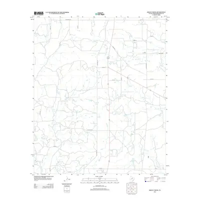
2013 Map of Sibley Creek
USGS Topo · Published 2013About this map
Bush Knob and its namesake Bush Knob Cem anchor this section of Throckmorton County, where a complex network of seasonal drainages defines the ranching landscape. The terrain is characterized by broad drainage systems including Kings Cr, Givens Cr, and Sibley Cr, which all feed toward the Clear Fork in the southwest. A sparse but essential road network, including the historic Old Albany Rd and Ranch Road 923, connects scattered homesteads and topographical markers like Mt Air. Smaller tributaries such as Plum Br and Slagestand Br suggest the subtle hydraulic patterns of this region. The map captures a landscape largely dedicated to open range and resource access, centered around established landmarks like Brown Lake.
Find a feature on this map
32 named features on this map. Tap any name to fly to it.
Don’t see what you’re looking for? This feature index may not catch every label — zoom into the map to look around manually.
Map Details
Editions of this 2013 Sibley Creek Map
This is the sole edition of this map. No revisions or reprints were ever made.
Other maps of this area

1892 · Albany
USGS Topo · 1:125,000

1893 · Albany
USGS Topo · 1:125,000

1954 · Abilene
USGS Topo · 1:250,000

1954 · Wichita Falls
USGS Topo · 1:250,000

1958 · Wichita Falls
USGS Topo · 1:250,000

1958 · Abilene
USGS Topo · 1:250,000

1965 · Collins Creek
USGS Topo · 1:24,000

1965 · Lusk
USGS Topo · 1:24,000

1965 · Fort Griffin
USGS Topo · 1:24,000

1965 · Throckmorton NE
USGS Topo · 1:24,000