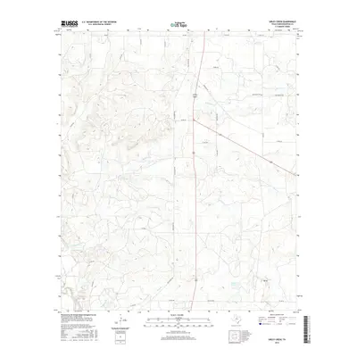
2016 Map of Sibley Creek
USGS Topo · Published 2016About this map
Sibley Creek and its network of tributaries define this section of the Texas rolling plains south of Throckmorton. The landscape is characterized by a sparse settlement pattern typical of modern ranching and oil country, where isolated homesteads like Mt Air sit among a grid of county roads. Transport through this territory relies on established routes such as Old Albany Rd and several Farm to Market roads, including FM 2584 and FM 923.
Find a feature on this map
34 named features on this map. Tap any name to fly to it.
Don’t see what you’re looking for? This feature index may not catch every label — zoom into the map to look around manually.
Map Details
Editions of this 2016 Sibley Creek Map
This is the sole edition of this map. No revisions or reprints were ever made.
Other maps of this area

1892 · Albany
USGS Topo · 1:125,000

1893 · Albany
USGS Topo · 1:125,000

1954 · Abilene
USGS Topo · 1:250,000

1954 · Wichita Falls
USGS Topo · 1:250,000

1958 · Wichita Falls
USGS Topo · 1:250,000

1958 · Abilene
USGS Topo · 1:250,000

1965 · Collins Creek
USGS Topo · 1:24,000

1965 · Lusk
USGS Topo · 1:24,000

1965 · Fort Griffin
USGS Topo · 1:24,000

1965 · Throckmorton NE
USGS Topo · 1:24,000