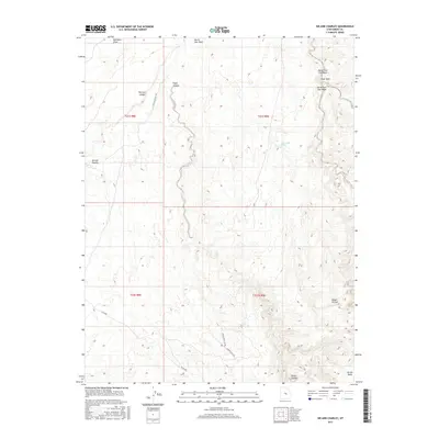
2017 Map of Sid And Charley
USGS Topo · Published 2017About this map
Sid and Charley, a pair of distinctive sandstone monoliths, stand as the namesake of this 2017 survey in Emery County. The landscape is defined by deep incisions through the high plateau, notably the winding path of Eagle Canyon and the expansive The Red Ledges to the northwest. These geologic formations dictate the limited travel through the region, with Co Rd 803 and trails like Lower Eagle Sw providing the primary access through the drainage networks.
Find a feature on this map
19 named features on this map. Tap any name to fly to it.
Don’t see what you’re looking for? This feature index may not catch every label — zoom into the map to look around manually.
Map Details
Editions of this 2017 Sid And Charley Map
This is the sole edition of this map. No revisions or reprints were ever made.
Other maps of this area

1885 · San Rafael
USGS Topo · 1:250,000

1885 · Manti
USGS Topo · 1:250,000

1885 · Fish Lake
USGS Topo · 1:250,000

1886 · Price River
USGS Topo · 1:250,000

1895 · Manti
USGS Topo · 1:250,000

1896 · Price River
USGS Topo · 1:250,000

1896 · Fish Lake
USGS Topo · 1:250,000

1923 · Castle Dale
USGS Topo · 1:62,500

1925 · Castle Dale
USGS Topo · 1:62,500

1952 · San Rafael Knob
USGS Topo · 1:62,500